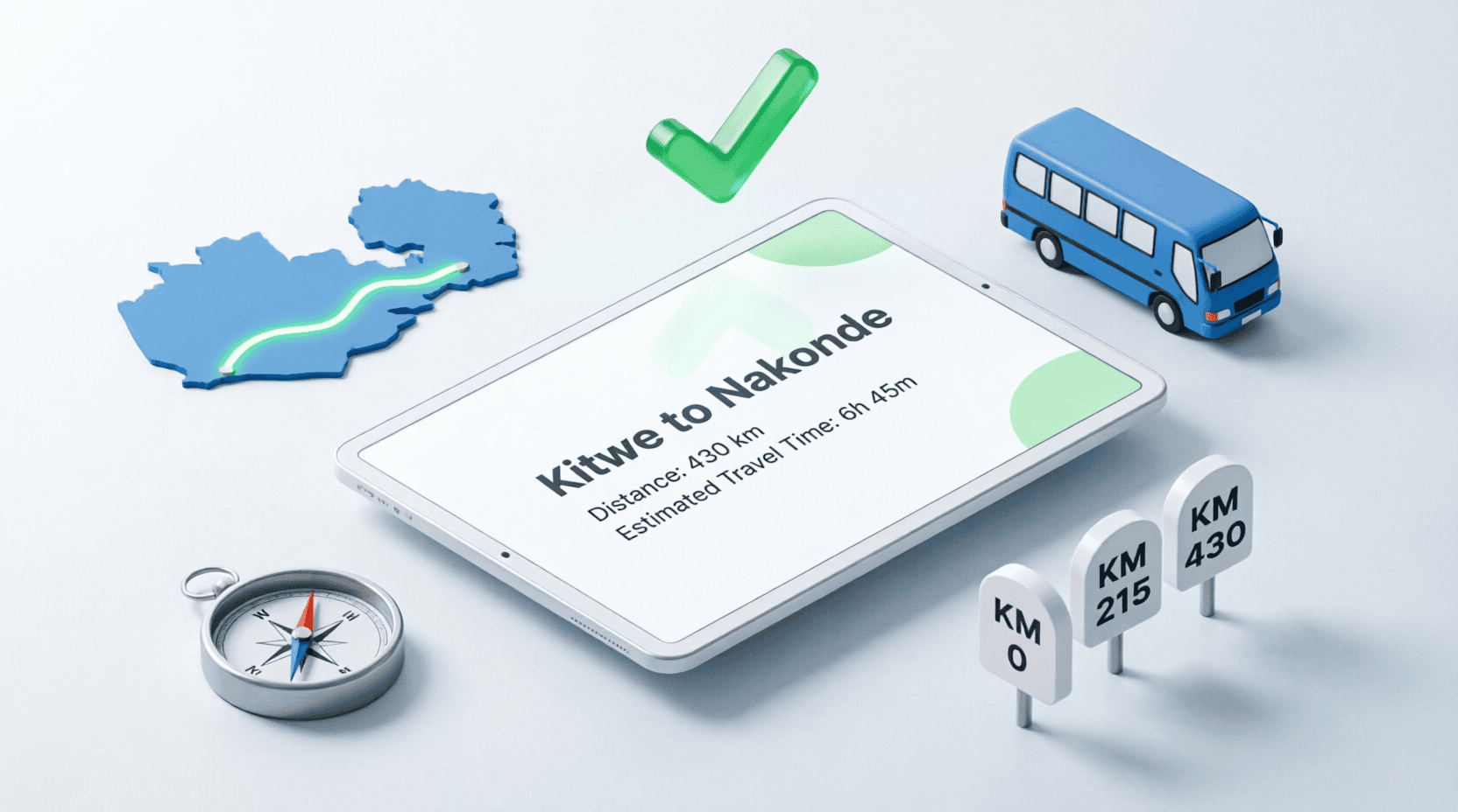
Kitwe to Nakonde Distance calculator
Planning a trip between Zambian cities? Whether you’re driving from Kitwe to Nakonde, hauling goods from Lusaka to the Copperbelt, or catching a bus to Livingstone, this calculator gives you accurate road distances, fuel costs, travel times, and estimated bus fares. Built specifically for Zambian drivers, traders, and travelers with updated 2026 data.
Distance & Fuel Cost Calculator
Select your cities and vehicle type to calculate distance, fuel cost, travel time, and bus fare
| From (Departure City) | To (Destination City) |
| Vehicle Type (Fuel Consumption) | Fuel Price (Kwacha per Liter) |
| Average Driving Speed | Trip Type |
Popular Zambian Routes & Distances
Quick reference for the most-traveled routes in Zambia. All distances are road distances via major highways.
| Route | Distance | Driving Time | Bus Fare (Est.) |
|---|---|---|---|
| Kitwe → Nakonde | 962 km | 12-14 hrs | K 450 – 650 |
| Lusaka → Nakonde | 1,020 km | 14-16 hrs | K 500 – 700 |
| Ndola → Nakonde | 850 km | 11-13 hrs | K 400 – 600 |
| Kitwe → Lusaka | 320 km | 4-5 hrs | K 180 – 250 |
| Lusaka → Livingstone | 470 km | 6-7 hrs | K 200 – 300 |
| Lusaka → Chipata | 600 km | 8-9 hrs | K 250 – 350 |
| Kitwe → Solwezi | 300 km | 4-5 hrs | K 150 – 220 |
| Lusaka → Kasama | 900 km | 12-14 hrs | K 450 – 600 |
| Kitwe → Kasama | 700 km | 9-11 hrs | K 350 – 500 |
| Ndola → Lusaka | 300 km | 4-5 hrs | K 180 – 250 |
| Lusaka → Mongu | 630 km | 9-10 hrs | K 300 – 400 |
| Kitwe → Mansa | 450 km | 6-8 hrs | K 250 – 350 |
The Kitwe to Nakonde Route: Complete Travel Guide
The route from Kitwe to Nakonde is one of Zambia’s most important transport corridors, connecting the Copperbelt Province to the northern border with Tanzania at Tunduma. Covering approximately 962 kilometers via the Great North Road (T2 highway), this journey passes through some of Zambia’s most scenic landscapes and bustling trade towns.
Route Breakdown: Major Towns Along the Way
Traveling from Kitwe to Nakonde, you’ll pass through these key towns (in order):
- Kitwe (Starting point, Copperbelt)
- Mufulira – 30 km – Mining town detour
- Ndola – 90 km – Copperbelt capital, major fuel stop
- Kapiri Mposhi – 230 km – Junction to Lusaka/Livingstone
- Serenje – 340 km – Good rest stop with lodges
- Mpika – 500 km – Major town, fuel, food, accommodation
- Kasama – 700 km – Northern Province capital
- Isoka – 880 km – Last major Zambian town before border
- Nakonde – 962 km – Border town (Tunduma, Tanzania)
How the Fuel Cost Calculation Works
Our calculator uses a simple but accurate formula to estimate your trip costs:
Fuel Cost (Kwacha) = Fuel Needed × Price per Liter
Travel Time (hours) = Distance ÷ Average Speed
Bus Fare (Estimate) = Base Fare (K80) + (Distance × K0.45/km)
Example: A medium car (8L/100km) driving 962 km at K30/liter needs 77 liters and costs K2,310.
Worked Example: Kitwe to Nakonde
• Fuel needed: (962 × 8) ÷ 100 = 77.0 liters
• Fuel cost: 77.0 × 30 = K 2,310
• Travel time at 70 km/h: 962 ÷ 70 = 13.7 hours (13h 45m)
• Estimated bus fare: 80 + (962 × 0.45) = K 513
For a round trip: Double all values → 154 liters, K 4,620 fuel cost, 27+ hours driving.
Real Fuel Cost Scenarios: Kitwe to Nakonde
Scenario 1: Medium Car (8L/100km)
- Distance: 962 km
- Fuel needed: 962 × 8 ÷ 100 = 77 liters
- Fuel price: K30/liter
- Total fuel cost: K 2,310 one way
- Round trip: K 4,620
Scenario 2: Large 4×4 / Pickup (12L/100km)
- Fuel needed: 962 × 12 ÷ 100 = 115 liters
- Total fuel cost: K 3,450 one way
- Round trip: K 6,900
Scenario 3: Truck / Large Bus (25L/100km)
- Fuel needed: 962 × 25 ÷ 100 = 240 liters
- Total fuel cost: K 7,200 one way
- Round trip: K 14,400
Bus Travel: Kitwe to Nakonde
If you prefer not to drive, several bus companies operate daily services from Kitwe to Nakonde:
- Juldan Motors – K 500 – 600, departs 5:00 AM
- Power Tools Bus – K 450 – 550, multiple departures
- Ulendo Travel – K 550 – 650, premium service
- Mazhandu Family Bus – K 400 – 500, budget option
Bus journey time is typically 14-16 hours including stops. Buses usually depart early morning (4-6 AM) to arrive before dark.
Border Crossing at Nakonde/Tunduma
If you’re continuing into Tanzania, here’s what you need at the Nakonde border:
- Valid Passport (or Zambian National Registration Card for citizens)
- Yellow Fever Vaccination Certificate (required for Tanzania)
- Vehicle Papers (if driving your own vehicle)
- COMESA Insurance or Tanzania insurance purchased at border
- Visa for Tanzania (USD 50 for most nationalities, obtainable on arrival)
- Rest Stops: Plan stops every 2-3 hours. Major towns along the route have fuel stations and restaurants.
- Fuel Up: Fill your tank in major cities. Fuel stations can be sparse in remote areas.
- Road Conditions: Check current road status. Some sections may be under construction or affected by rains.
- Night Driving: Avoid driving at night on long routes. Poor lighting, animals on road, and limited help if breakdown occurs.
Why Accurate Distance Matters in Zambia
Planning a trip in Zambia requires careful calculation because:
- Fuel stations are sparse between major towns—you must know exactly how much fuel you need
- Distances are long—a 1,000 km trip can take 14+ hours, requiring overnight planning
- Road conditions vary—some routes are tarred, others are gravel, affecting fuel consumption
- Transport costs affect business—traders need accurate cost calculations to price goods properly
Frequently Asked Questions
What is the exact distance from Kitwe to Nakonde?
The road distance from Kitwe to Nakonde is approximately 962 kilometers via the Great North Road (T2 highway). The journey passes through Ndola, Kapiri Mposhi, Serenje, Mpika, Kasama, and Isoka before reaching the Nakonde border town.
How much fuel does it take to drive from Kitwe to Nakonde?
It depends on your vehicle. A medium car (8L/100km) needs about 77 liters (K 2,310 at K30/liter). A large 4×4 (12L/100km) needs 115 liters (K 3,450). A truck or bus (25L/100km) needs 240 liters (K 7,200). Use our calculator above to get exact figures for your vehicle.
How long does it take to drive from Lusaka to Nakonde?
The Lusaka to Nakonde route is 1,020 km and typically takes 14-16 hours of driving time. Most travelers split the journey with an overnight stop in Kasama or Mpika. Bus services take 14-16 hours including rest stops.
What is the bus fare from Kitwe to Nakonde?
Bus fare from Kitwe to Nakonde ranges from K 400 to K 650 depending on the bus company and seat class. Major operators include Juldan Motors, Power Tools, Ulendo Travel, and Mazhandu Family Bus. Journey time is 14-16 hours.
Is the road from Kitwe to Nakonde tarred?
Yes, the entire route from Kitwe to Nakonde is on the tarred Great North Road (T2 highway). However, some sections may have potholes or be under maintenance, especially during the rainy season (November-April). Always check current road conditions before traveling.
Can I drive from Zambia to Tanzania through Nakonde?
Yes, Nakonde is Zambia’s busiest border crossing with Tanzania. The border town on the Tanzanian side is Tunduma. You’ll need a valid passport, yellow fever certificate, vehicle papers, COMESA insurance, and a Tanzanian visa (USD 50 for most nationalities).
Where can I buy fuel along the Kitwe-Nakonde route?
Major fuel stops include Ndola (90 km), Kapiri Mposhi (230 km), Serenje (340 km), Mpika (500 km), Kasama (700 km), and Isoka (880 km). Fill up in major towns as fuel stations become sparse in remote areas. Puma, Total, and Shell have stations in most towns.
How accurate is this distance calculator?
Our distances are based on official road measurements between city centers. Actual driving distance may vary by 5-10% depending on your exact starting point, route taken, and detours. Fuel cost calculations are estimates—actual consumption varies based on vehicle condition, load, driving style, and road conditions.
Last Updated: July 2026 | Distances based on Zambia Road Traffic Authority data | Fuel prices are estimates and change frequently. Always verify current prices at the pump. This calculator is provided for planning purposes only.